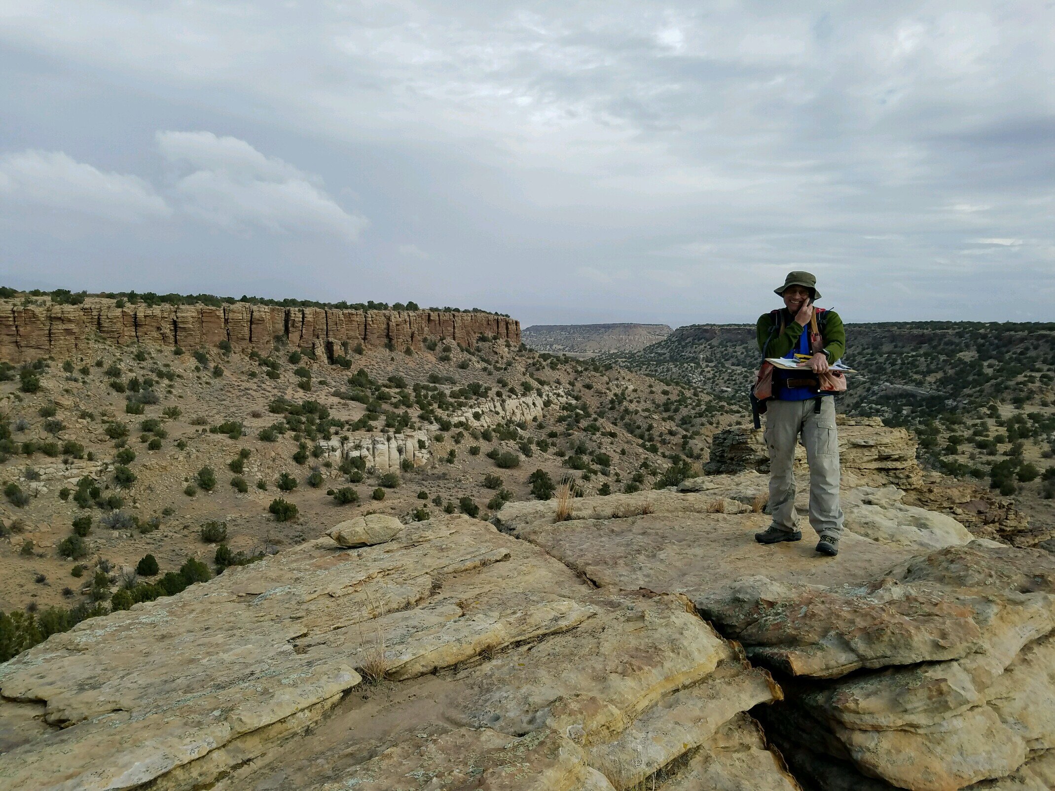
Geologic Mapping
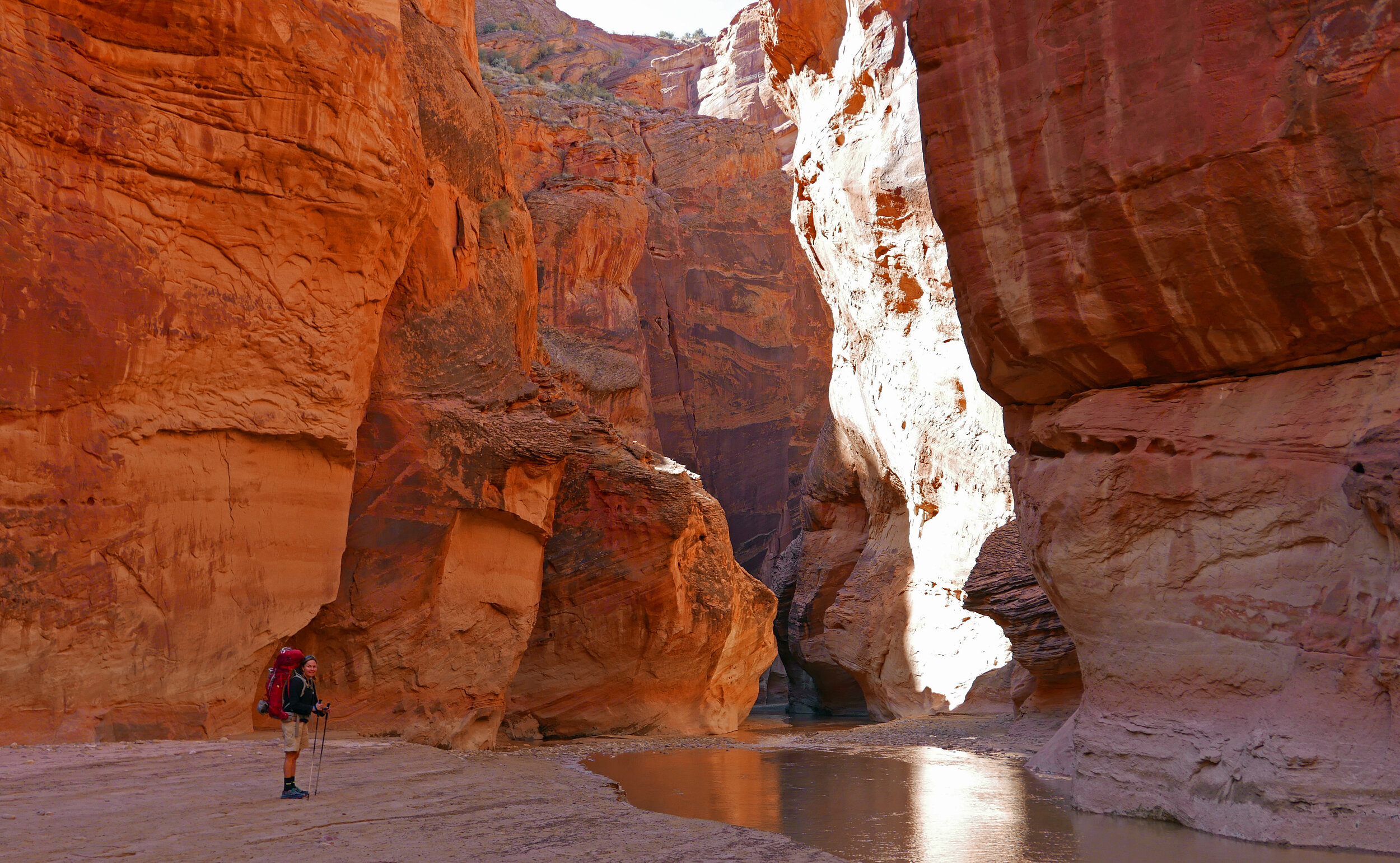
Geologic mapping plays an important role in many geologic, hydrologic, and environmental projects. Preparation of detailed geologic maps allows the construction of geologic and hydrogeologic cross-sections, which are used to make inferences about subsurface geologic/hydrologic conditions. Depending on the nature of the project, GGI staff design a mapping program that addresses specific questions pertinent to the investigation, as well as general information that will be useful to the overall investigation.
Services:
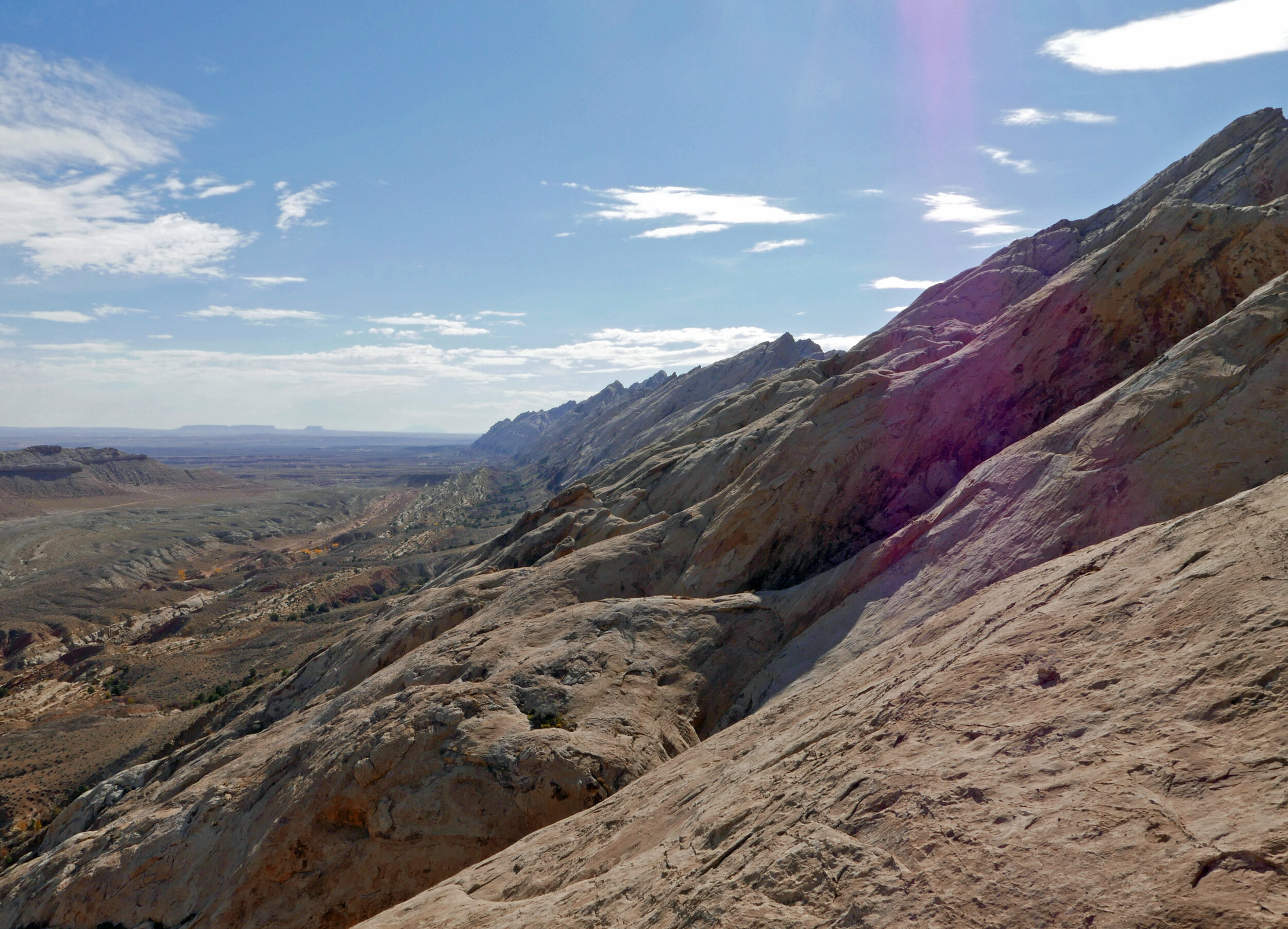
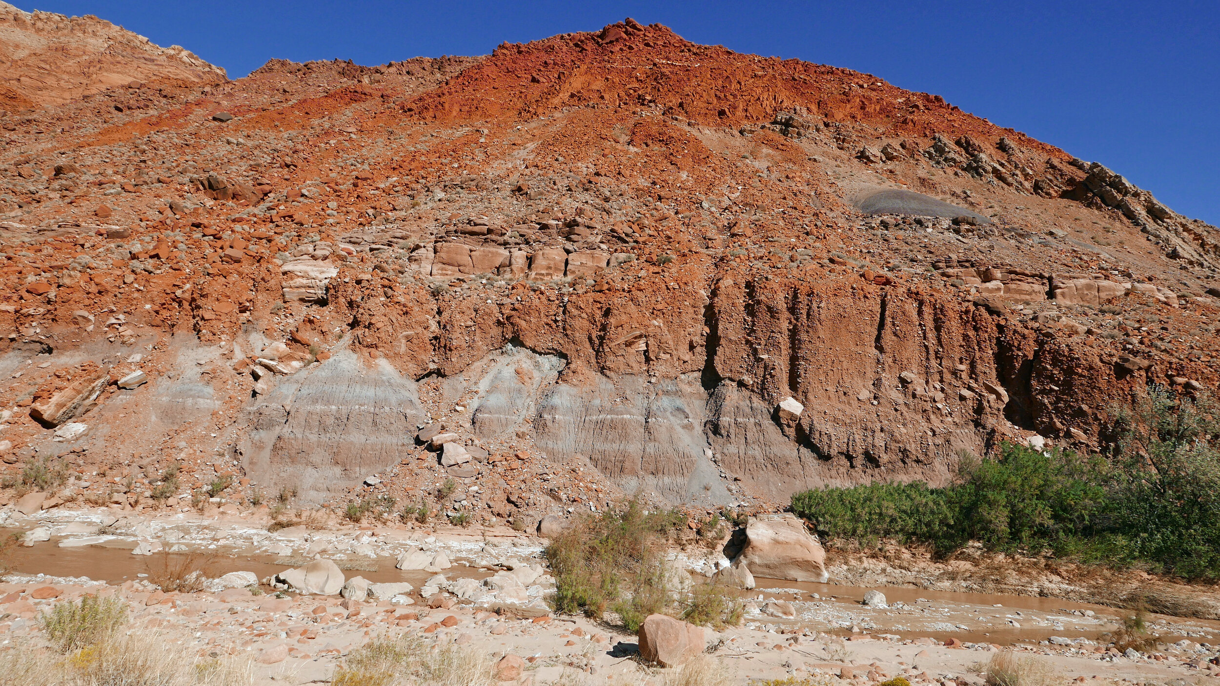
Bedrock Geology
Structural Geology
Geologic/Seismic Hazards (potential for faulting, mass wasting, etc.)
Geologic Controls on Groundwater Movement (location of structures/formations that may enhance or retard groundwater movement, etc.)
Geology / Mineral Surveys for Conservation Easements
Geology / Mineral Surveys for Resource Development
Fracture Analysis
Well Siting, Design and Completion (anticipated well depth and depths of various aquifers)
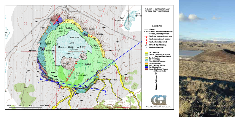
GGI has also collaborated in geologic mapping projects with the New Mexico Bureau of Geology and Mineral Resources (NMBGMR), including mapping of the Valles Caldera National Preserve. (Valle Toledo, Bland Quad, Seboyeta, Lobo Springs, Grants, Valle San Antonio)
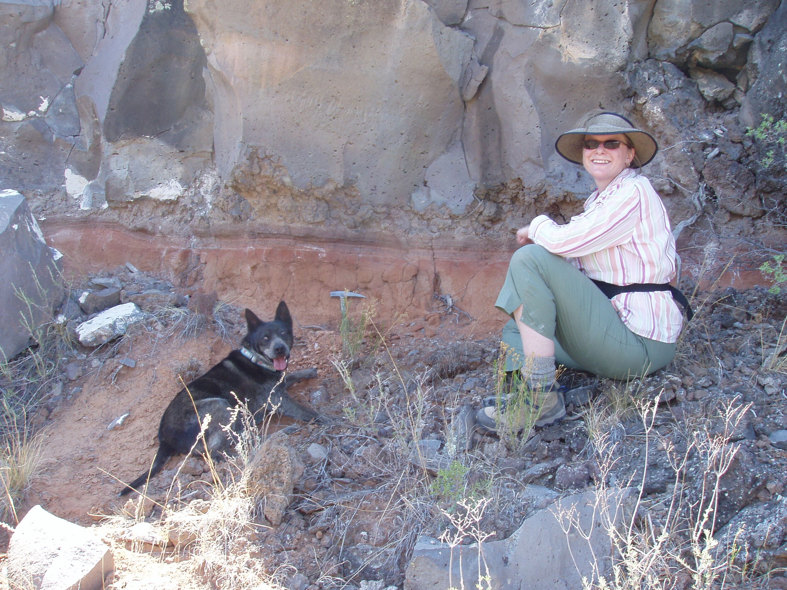
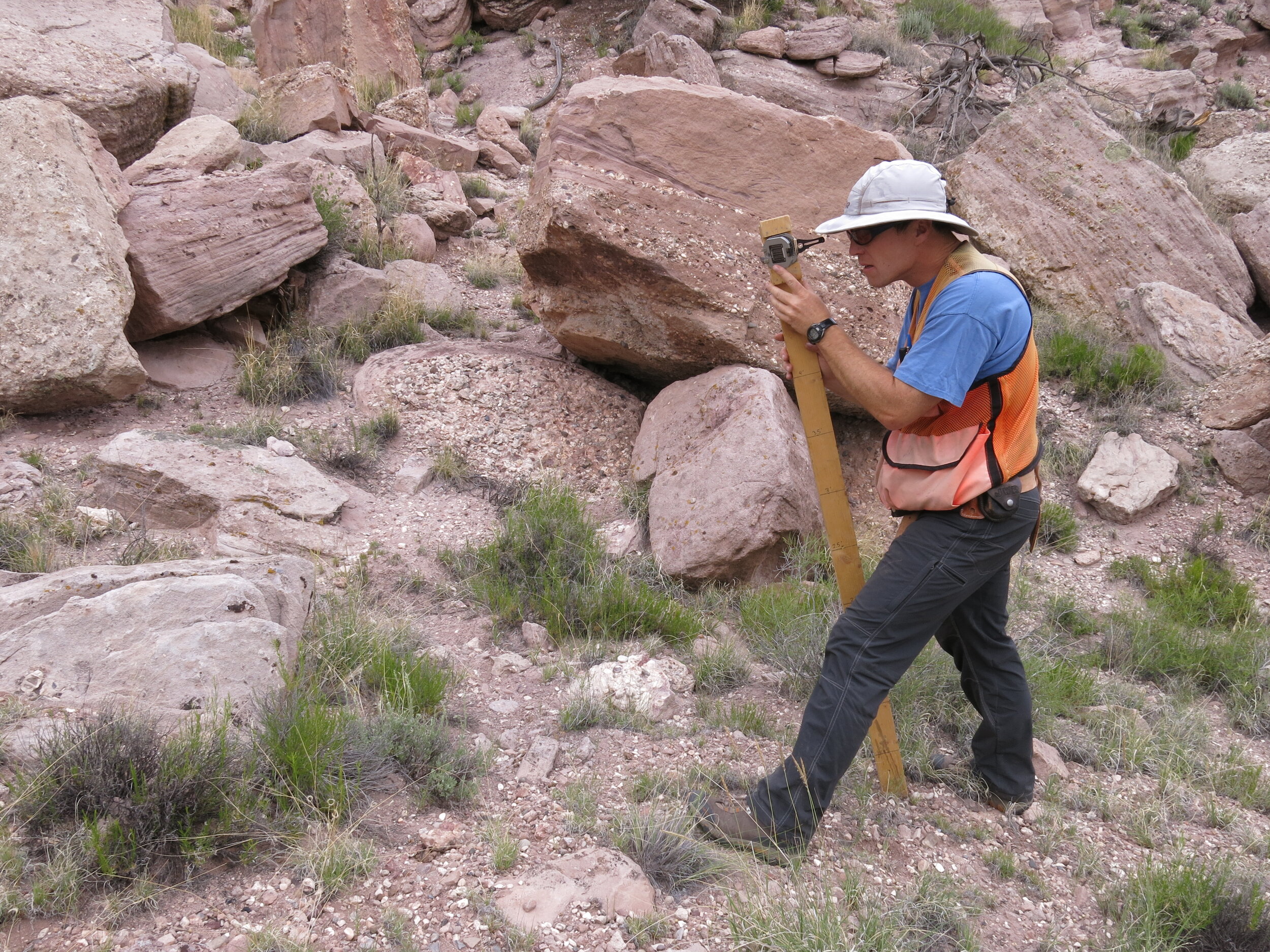
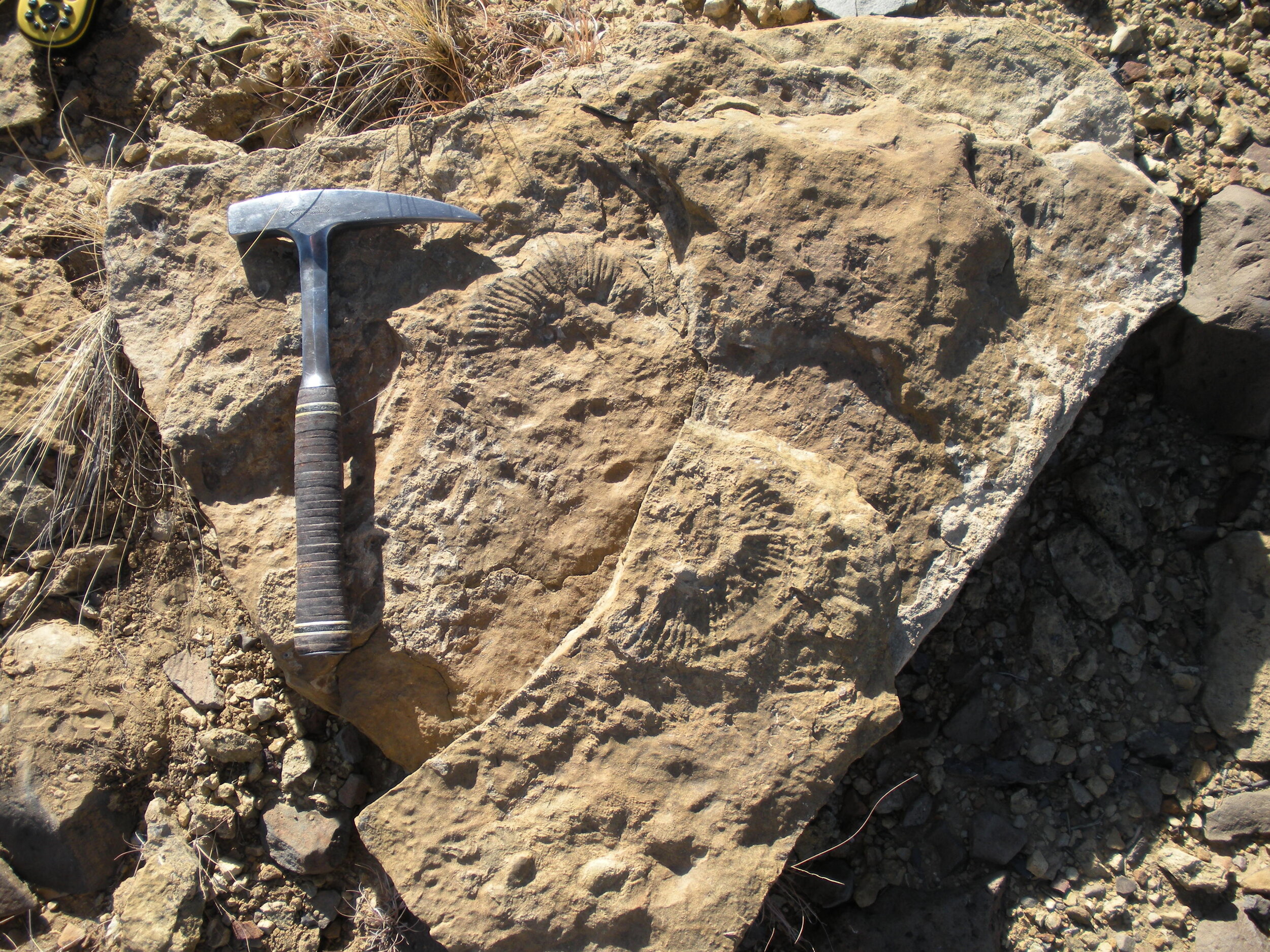
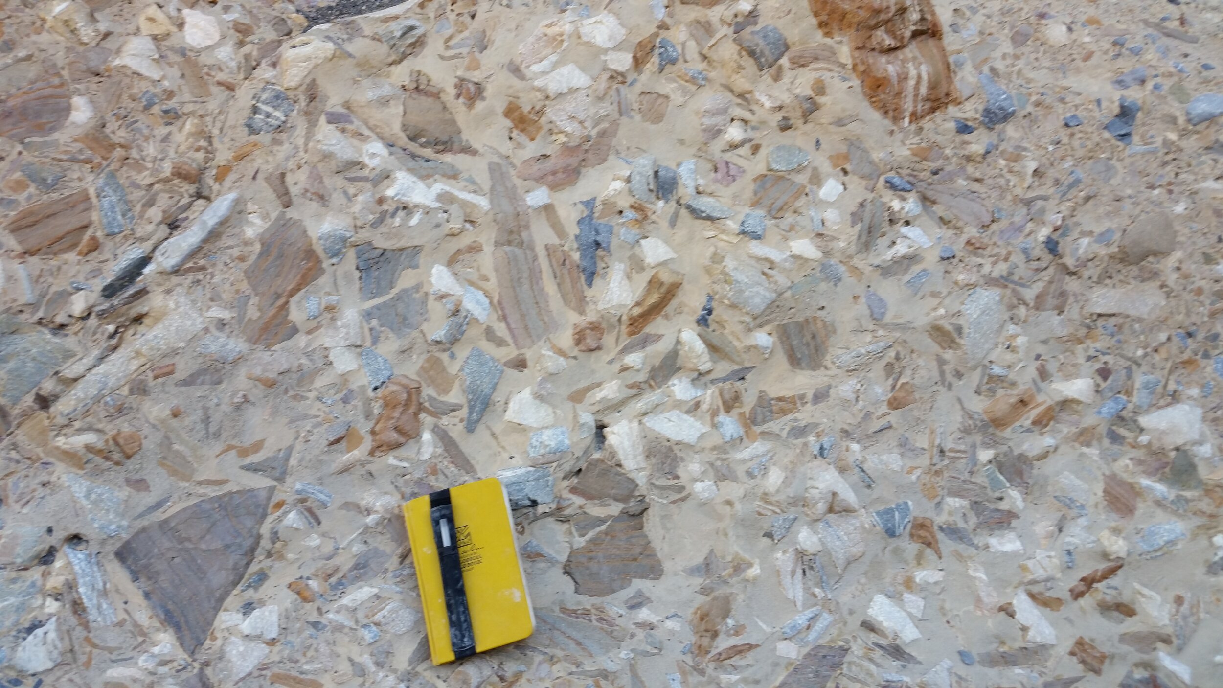

“We map bedrock geology, surficial deposits, geologic structures and compile geologic cross sections.”