Wetlands Delineation
Wetland delineations are based on the the presence of wetland characteristics or indicators. These indicators are:
(i) presence of hydrophytic vegetation,
(ii) presence of hydric soils, and
(iii) presence of wetlands hydrology.
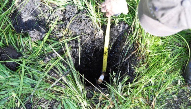
To establish if wetlands are present, soil pits are dug to identify soil type and determine the depth to the water table and vegetation plots are established to identify the abundance of wetland vegetation. A report is then completed and submitted to the Army Corps of Engineers identifying the delineated wetland area where all indicators are met.
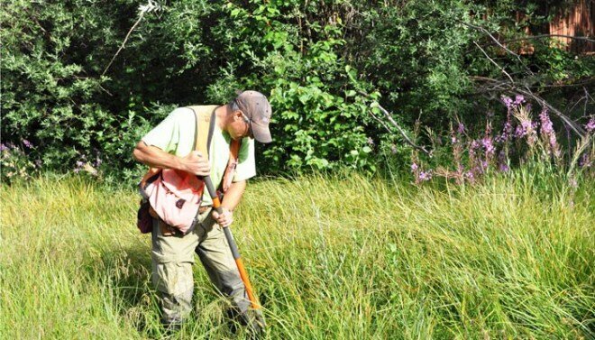
GGI’s geohydrologists conduct site investigations to evaluate soils and hydrology while vegetation survey is performed by ecologists.
Project Example: Fen-Type Wetland in the Village of Taos Ski Valley
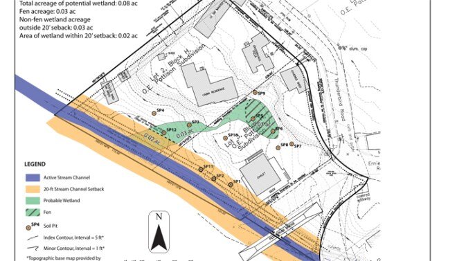
Redevelopment plans for a central Village of Taos Ski Valley plaza with pedestrian access and master planned commercial and residential resort necessitated the delineation of a suspected wetland located in the center of the proposed development. GGI staff conducted the delineation field work and reported the findings to the US Army Corps of Engineers together with a mitigation plan that outlines the creation of a new wetland at a different location to compensate for the loss of the existing wetland.
“GGI ecology, soil and hydrology scientific staff cover all aspects of wetland and vegetation delineation requirements.”
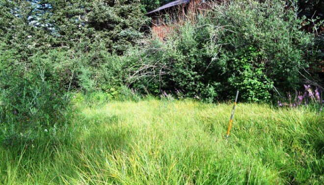
Fen-Type Wetland – Taos Ski Valley


